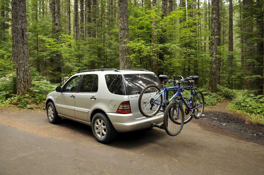
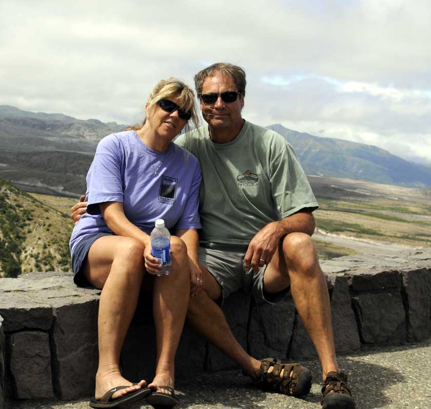
 Benz and Bikes |
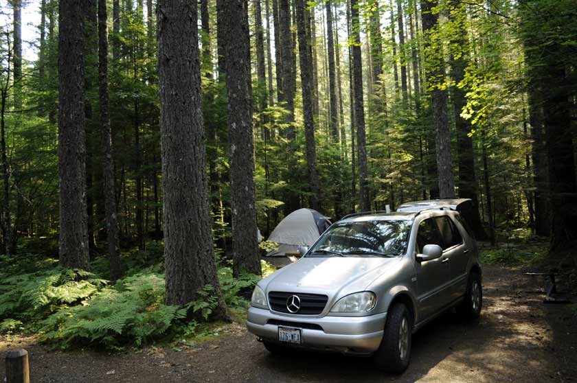 Campsite at the Lewis River Lower Falls Campground |
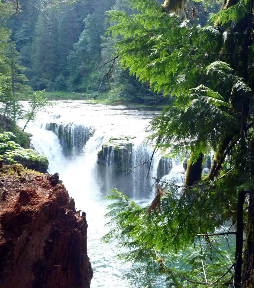
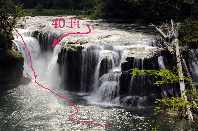
 The Lewis River Lower Falls was formed by a lava flow 20,000 yrs ago
|
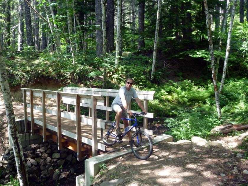
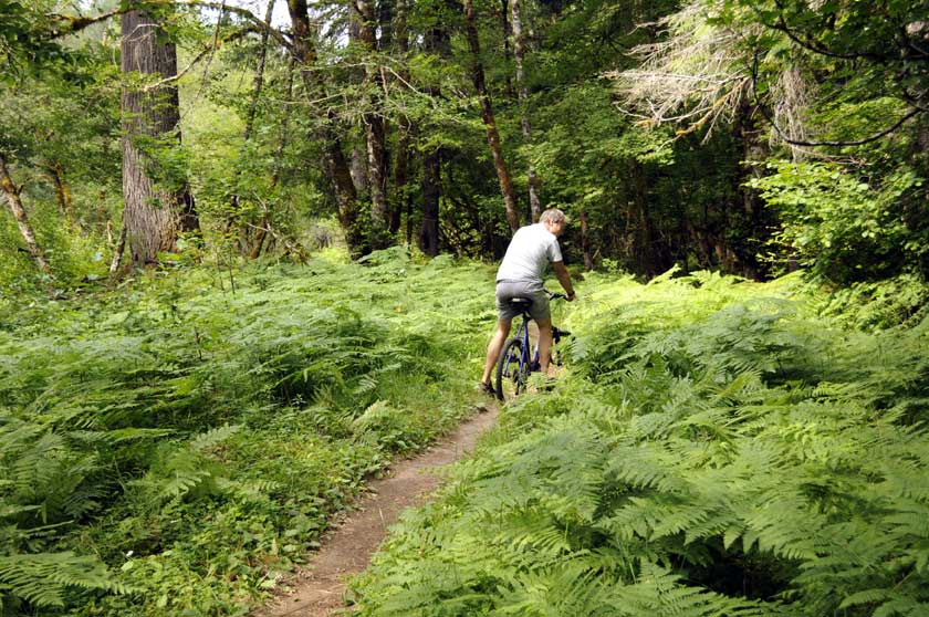
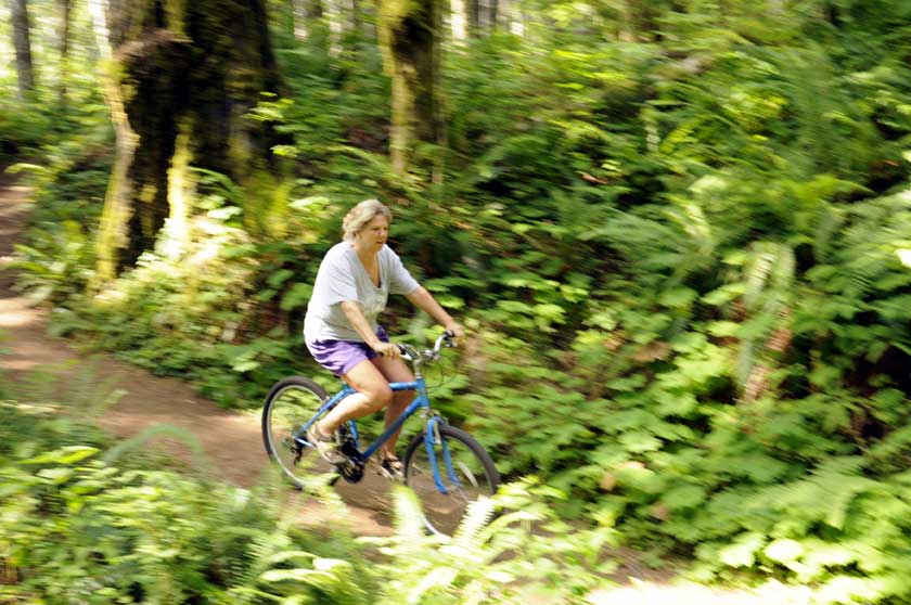 There were few people and miles of great mountain biking trails |
 |
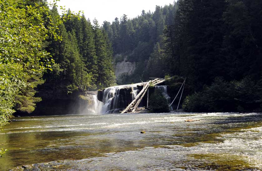 The Lower Falls from below |
 |
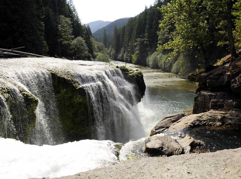 The Falls from above, it was pretty spectacular |
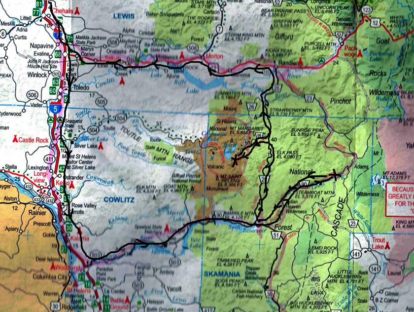 Here's a scan of the AAA map of the area. Lewis Falls camp at the far right, Windy Ridge in the middle |
|
 |
 |
 |
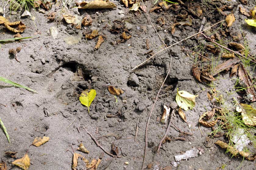 Fresh Elk footprints along an isolated river shore |
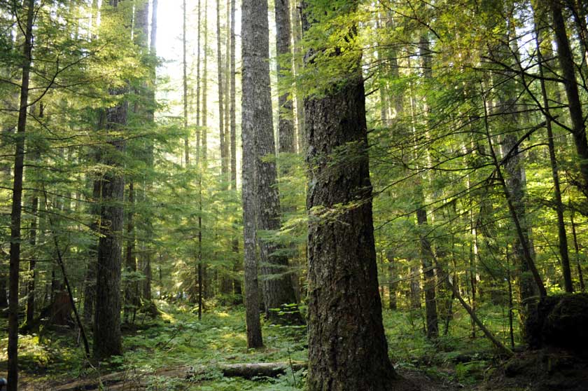 The area had a nice stand of Spruce. Appeared not to have ever been logged |
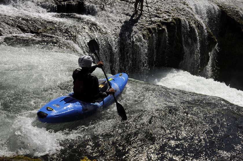
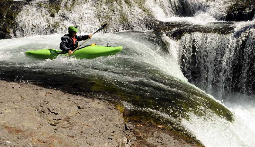
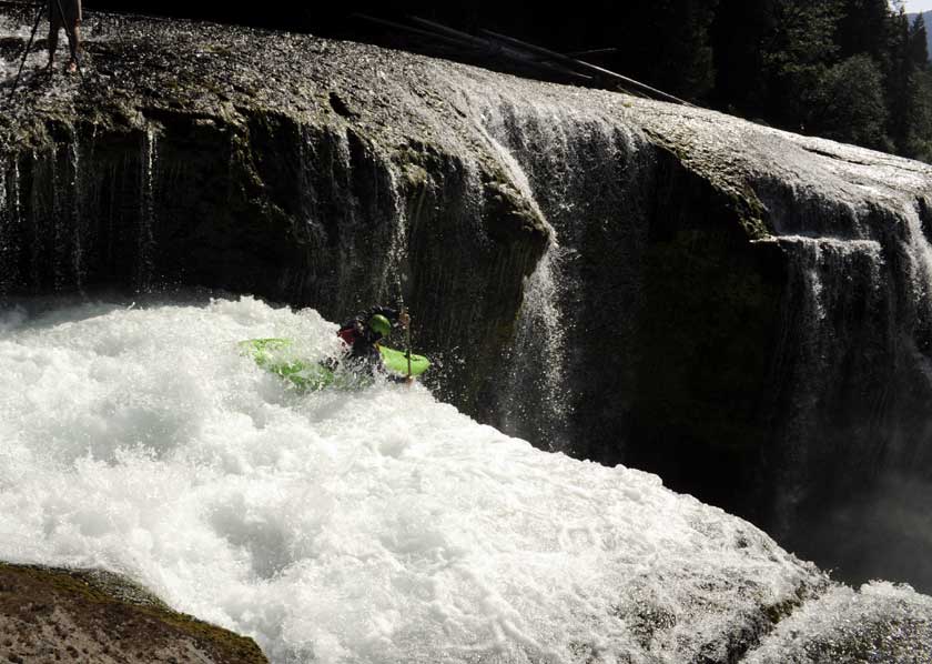
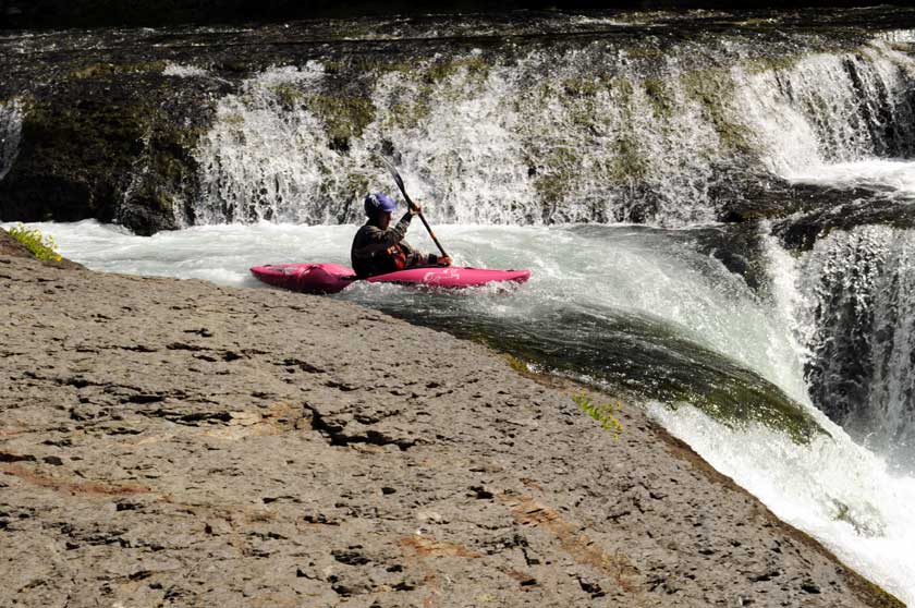
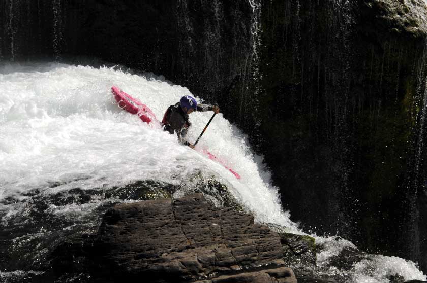
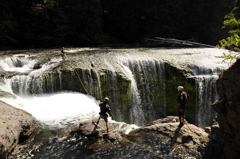
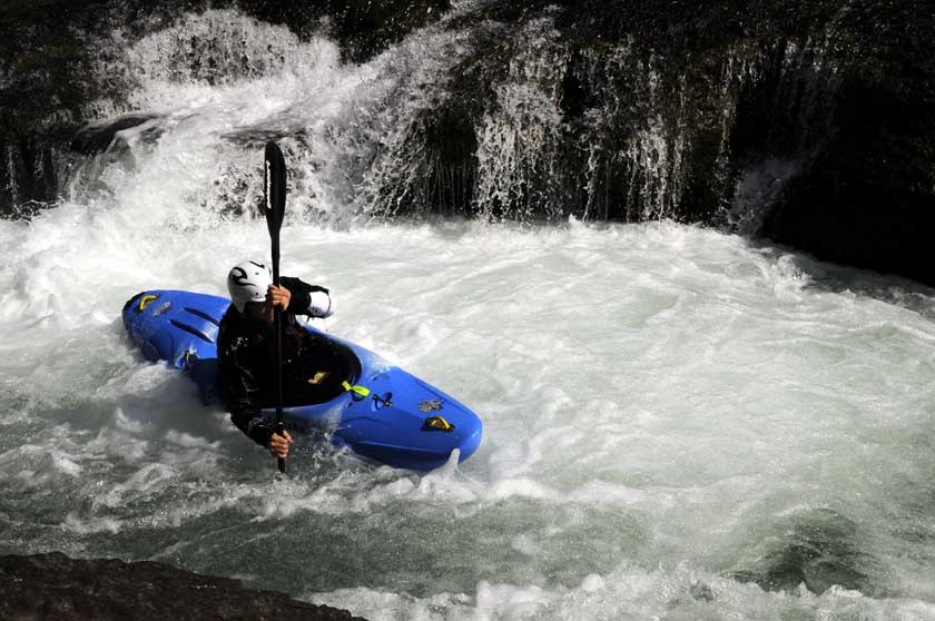 Then we saw these four river kayakers preparing to go over the falls |
 We learned that they were a part of a photo shoot for the Oregonian newspaper. Note the photographer's tripod and legs top center |
 |
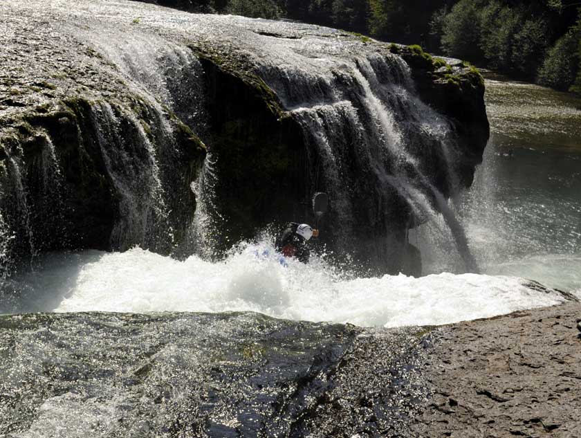 It looked pretty exciting... |
 This guy had a camera on his helmet |
 |
 |
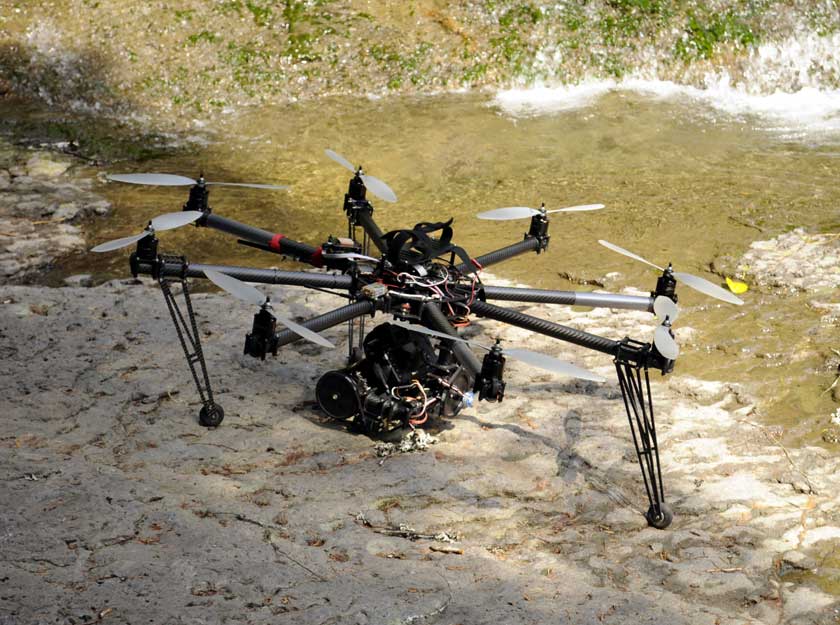
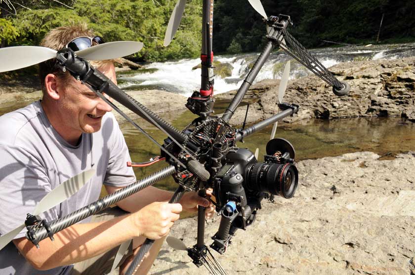 One photographer had this cool helicopter camera setup |
 |
 |
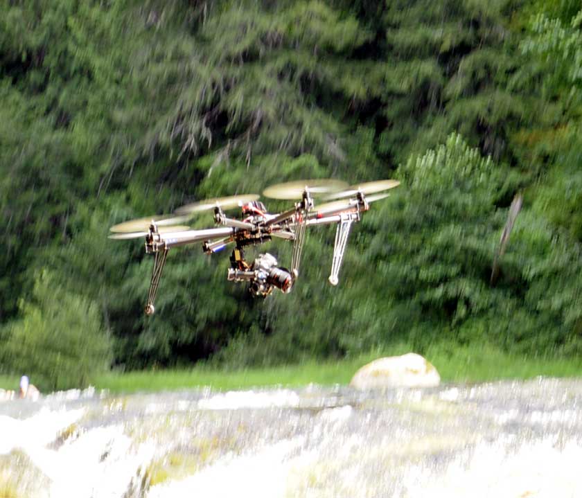 |
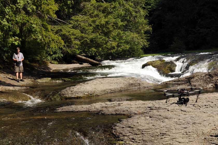 Here's the guy getting ready to fly it |
 Photographers getting all set up |
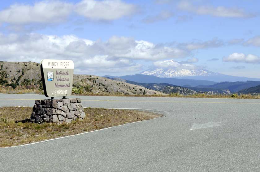 A stop at windy ridge on the way home. That's Mt Adams in the background. The Lewis River Falls campground was about halfway between St Helens and Adams |
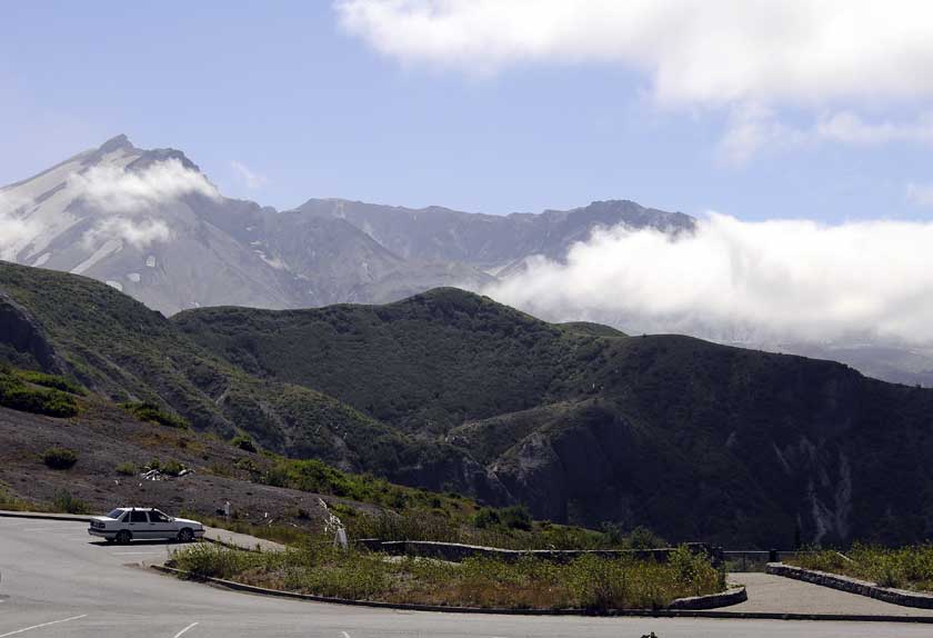 The St. Helens crater from Windy Ridge |
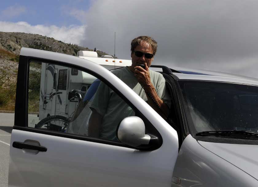 Dave made a call on the ham radio VHF-FM from the 4100 ft level of St Helens |
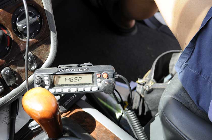 Talked to Robin N7GSU 150 miles away for a few minutes |
 A one-mile hike to the edge of Spirit Lake for a picnic lunch |
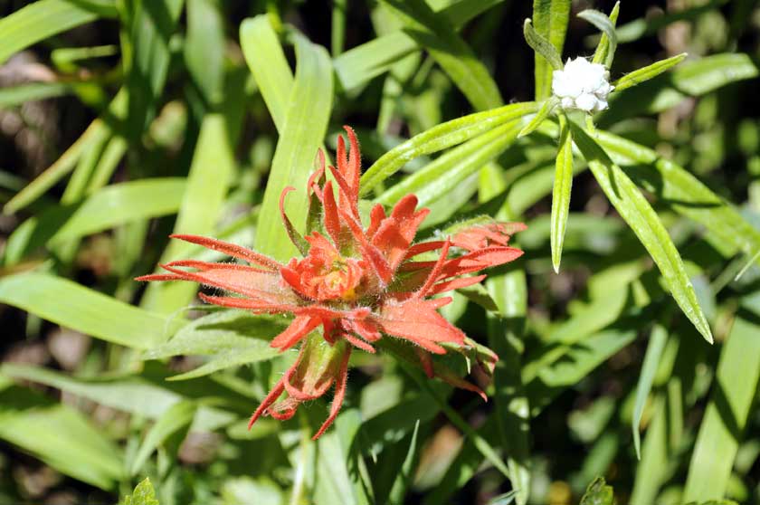 Alpine wildflower "Indian Paintbrush" |
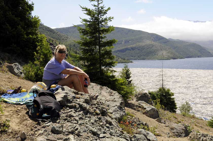 |
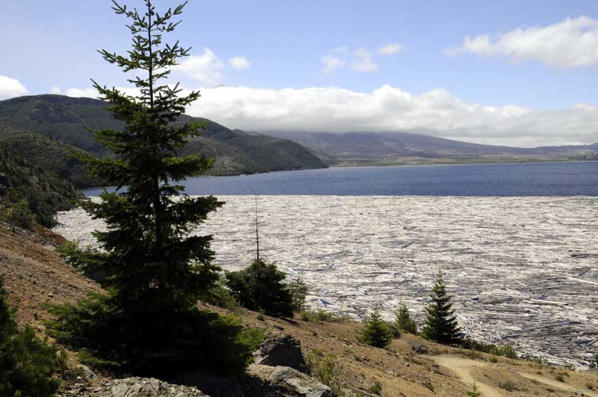
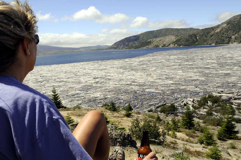 One third of the lake was still covered in floating logs from the 1980 eruption
|
|
Lewis Falls
Campground webpage
Gifford Pinchot
National Forest Home
Valhalla Tree Farm Home
Trips Index
© 2012 Dave Ingebright All rights reserved |
|