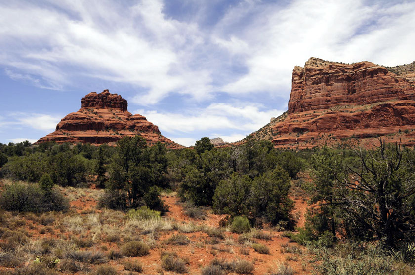
Teapot Dome and Courthouse Rock
Classic Sedona red rock
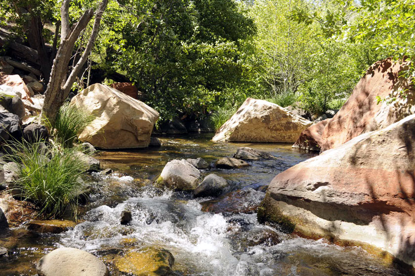
Oak Creek Canyon near Sedona
Fire-Blackened hills north of Sedona
Evidence of the recent Oak Creek Canyon forest fire in May More...
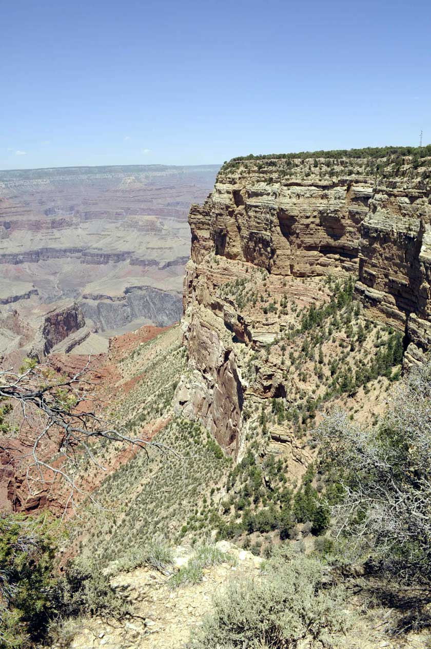
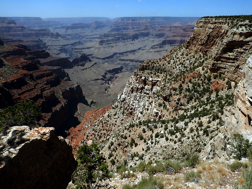
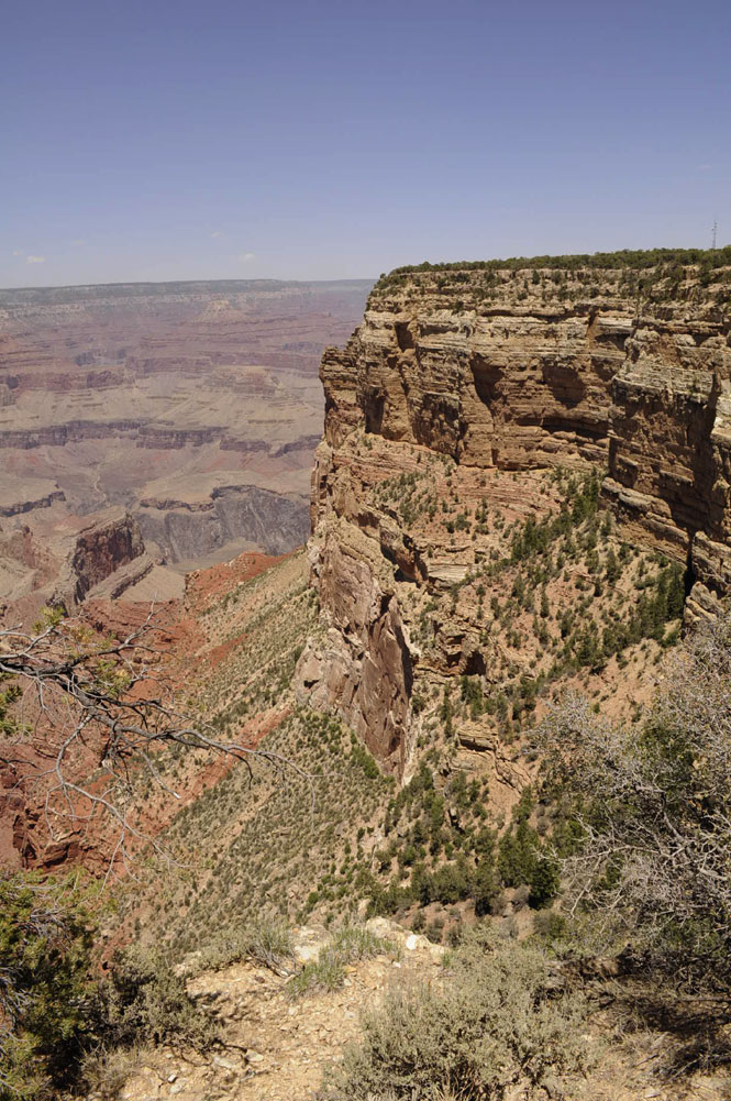
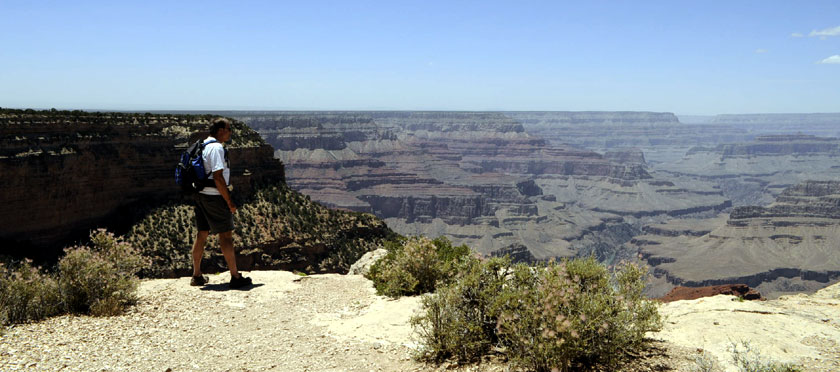
Hopi Point - Grand Canyon South Rim
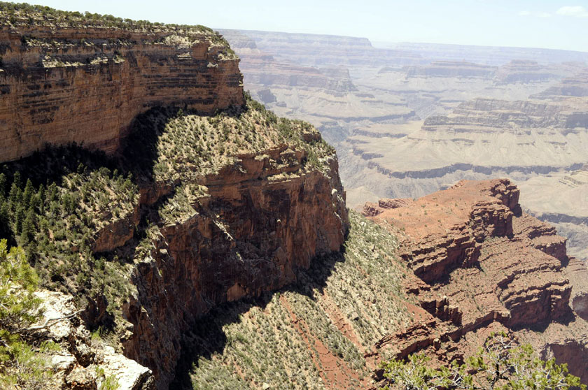
Looking down from Canyon village
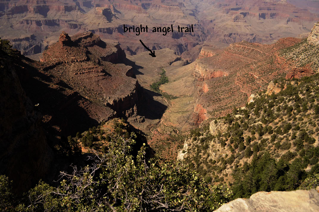
Note the Bright Angel Trail top center. The trail originates at the Grand Canyon Village on the south rim of Grand Canyon, descending 4380 feet to the Colorado River. It has an average grade of 10% along its entire length. At trail's end, the River Trail continues another 1.9 miles to the Bright Angel Campground and Phantom Ranch.
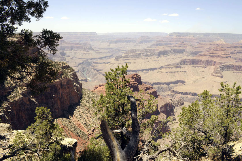
Note the Colorado River left of center
The Colorado River is the principal river of the Southwestern United States and northwest Mexico. The 1,450-mile (2,330 km) river drains an expansive, arid watershed that encompasses parts of seven U.S. and two Mexican states. Rising in the central Rocky Mountains in the U.S., the river flows generally southwest across the Colorado Plateau and through the Grand Canyon before reaching Lake Mead on the Arizona–Nevada line, where it turns south toward the international border.
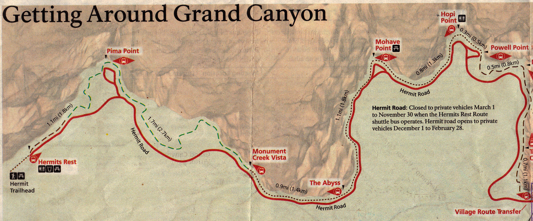
South Rim Map
We hiked from Powell Point to Hopi Point and then took the shuttle to Mohave Point. We then hiked from there to Pima Point. Caught shuttle back to Canyon Village
.JPG)
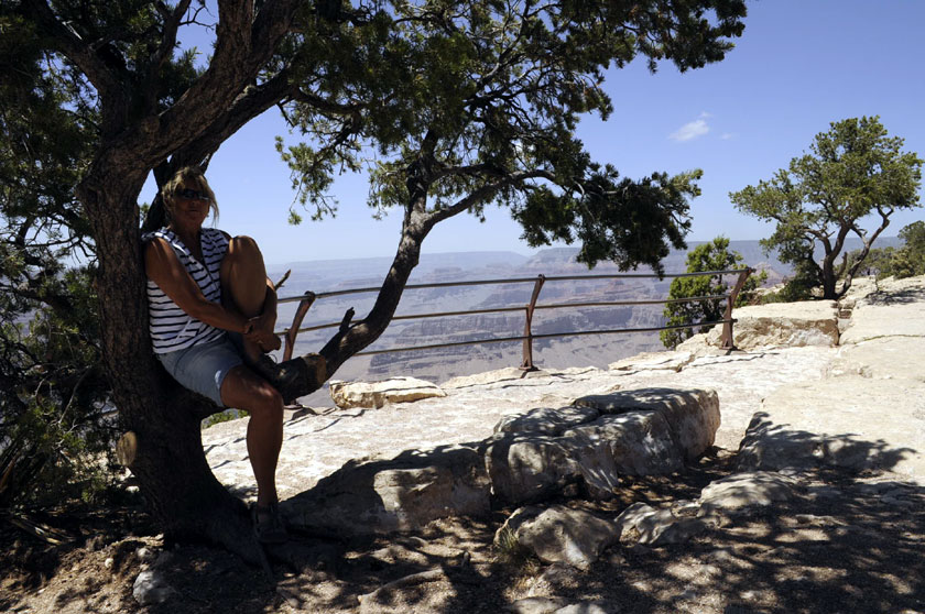
It was a bit hazy but no complaints
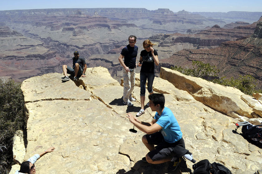
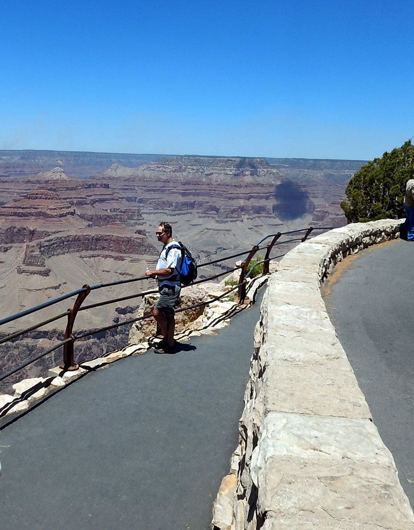
We couldn't believe how close people were getting to the edge.
Note the girl in the lower LH corner...
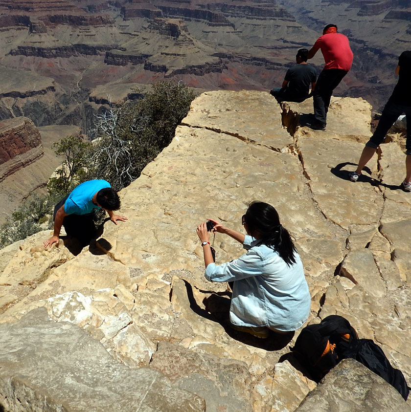
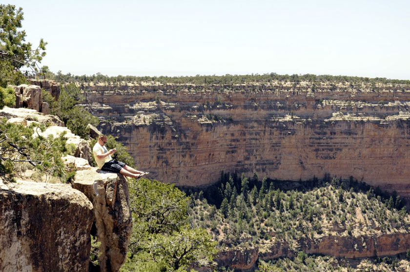
Another daring tourist
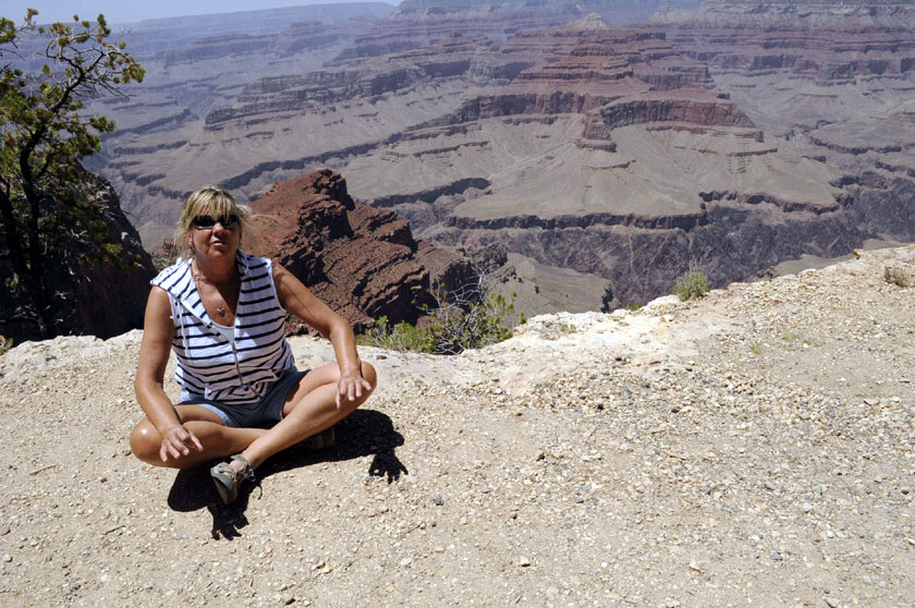
Here's Jan getting as close as possible
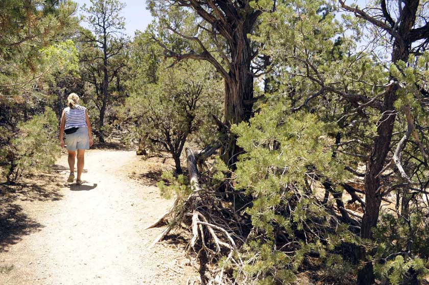
Hiking the rim trail
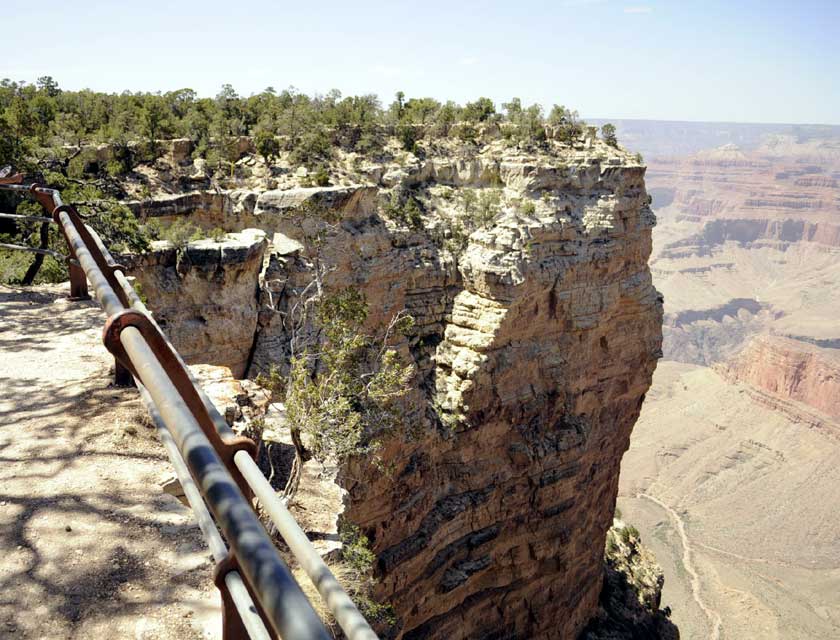
Some handrails but not many
5 Day trip to Northern Arizona
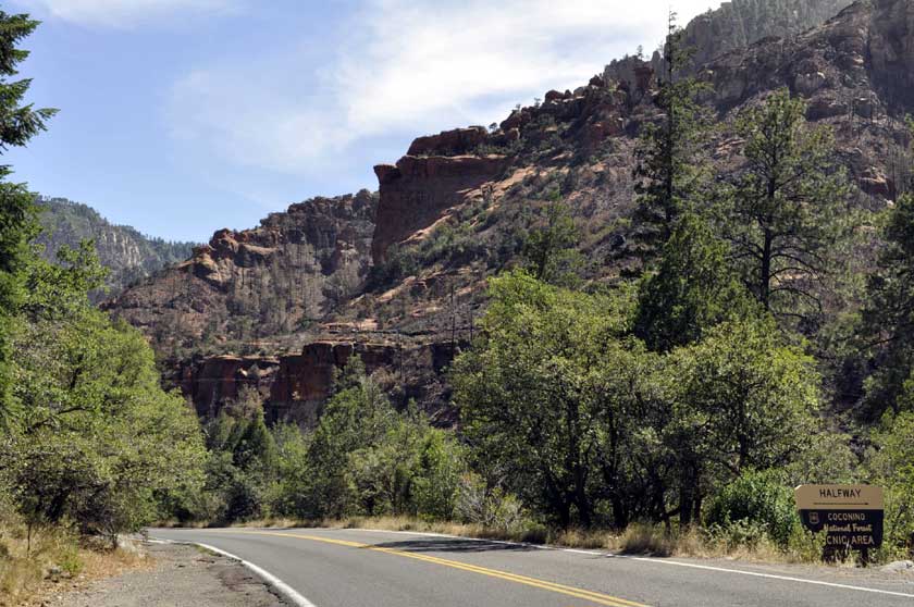
Day 1: Drive from Phoenix to Sedona. Looked around Sedona. Lots of great red
rock formations. Too many tourists! On to Flagstaff for the first night.
Day 2: 90 min Flagstaff to the Grand Canyon South Rim. Spent the day hiking and exploring the South Rim. Back to Flagstaff for the 2nd night.
Day 3: On to Page at the very north of Arizona. Explored page and Lake Powell.
Day 4: Explore Page andLake Powell
Day 5: 5 hr drive back to Phoenix
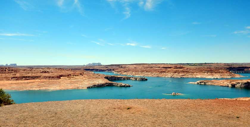
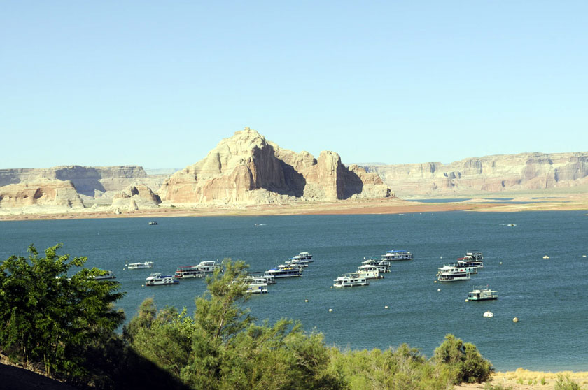
Lake Powell
Note the dam is visible in the far right. It is 186 miles long and has over 2,000 miles of shoreline. More than the west coast of the US.
It is a major vacation spot that around 2 million people visit every year. It is the second largest man-made reservoir, by maximum water capacity, in the United States behind Lake Mead, storing 24,322,000 acre feet (3.0001×10¹⁰ m3) of water when full. ...More
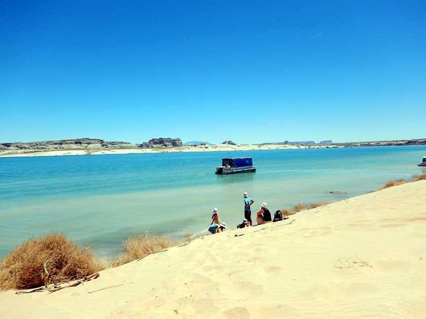
Swimming at Lake Powell. Water temp was low 70s.
This is one lake where you need a boat to really have fun.

Here's Dave next to the pool at the posh Lake Powell Resort
website
Lake Powell
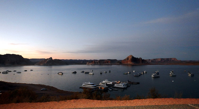
Sunset Lake Powell

Swimming at Lone Rock State Park
This 'lone rock' sticks up out of the water
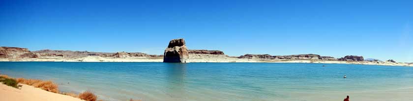
Panorama of lone rock.